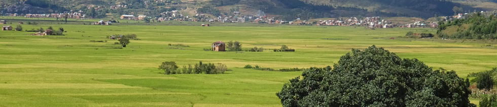


The Vakinankaratra Region is located on the Highlands of Madagascar.
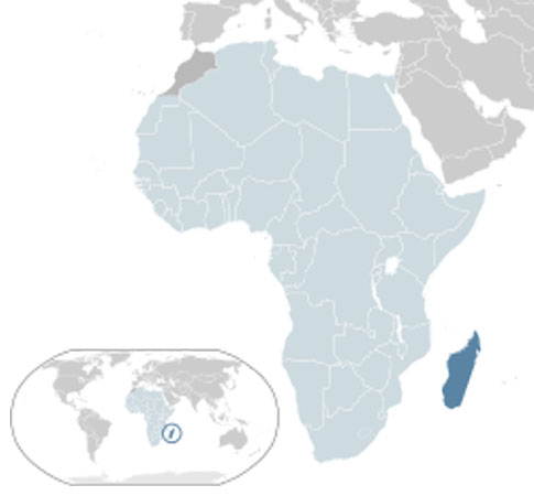 |
| Madagascar, Google Maps Location |
Located in the center of the island, it is bordered by:
It is divided into six districts: Ambatolampy, Antanifotsy, Antsirabe I, Antsirabe II, Betafo, and Faratsiho
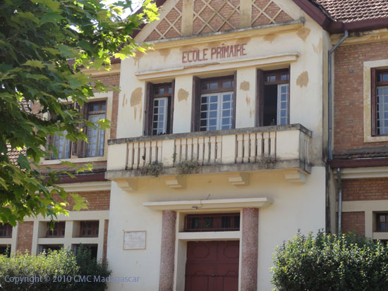 |
| Primary School in Antsirabe |
The current estimated number of people per household is 5.26.
53.3% of boys aged 6 to 14 are enrolled in school compared to 51.33% of girls.
20.9% of household heads have never attended school.
In 2004, 20.1% of the population was urban compared to 79.9% rural.
In 2005, 84.9% of the population worked in agriculture, of which 80% in livestock, compared to 12.8% in the manufacturing sector and 1.84% in services.
The central region of Madagascar has 333 kilometers of national roads, of which 259 are paved. Of the remaining network, 957 kilometers, only 12 kilometers are paved.
A railway line serves Vakinankaratra, including Behenjy, Ambatolampy, and Antsirabe, from Antananarivo.
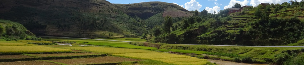
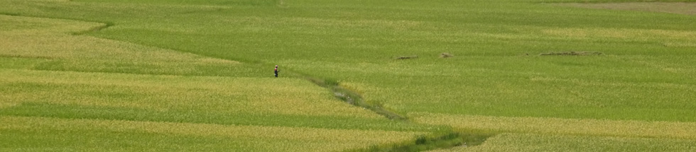
Agriculture is dominated by subsistence farming: rice, cassava, maize, potatoes, carrots, and fruits; and industrial crops: barley and tobacco.
Cultivable area/Total area ratio: 20.4%
Cultivated area/Cultivable area ratio: 50.86%
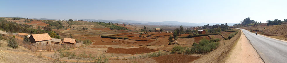
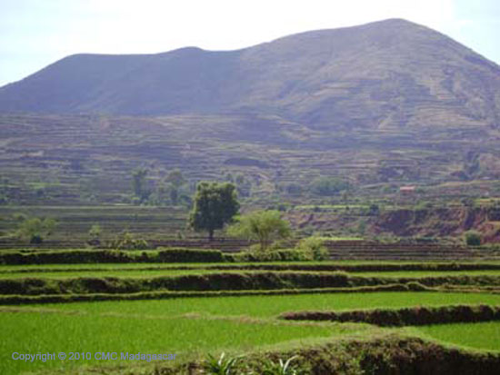 |
| Landscape of Vakinankaratra |
The main rivers, streams, and lakes are:
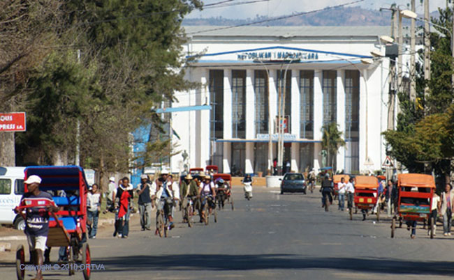 |
| City Hall of Antsirabe |
Antsirabe is nicknamed the "Malagasy Vichy" because of the numerous thermal (hot) or mineral water springs still exploited today. The virtues of its waters, discovered by two Norwegian missionaries in the 19th century, attracted illustrious figures. Even the sovereigns came here to treat their rheumatism.
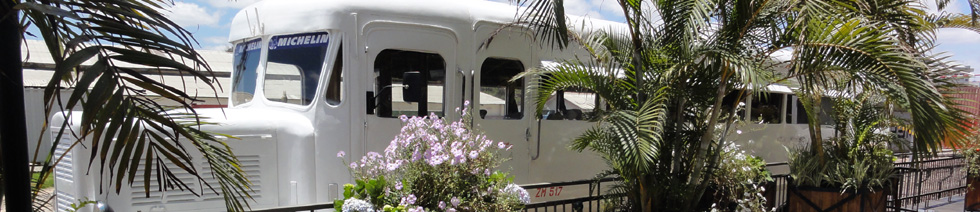
Antsirabe is also the capital of rickshaws. It has the highest number of rickshaws per capita of any city in the country.
Antsirabe has become the country's leading industrial center today (economy).
The city is connected to the capital Antananarivo by the national road 7 which continues to Tuléar and by the railway. Antsirabe also has an aerodrome (IATA code: ATJ), or FMME (ICAO).
http://www.pnae.mg/ie/tbe/telechargement/vakinankaratra/donnees_vakinakaratra.pdf
Sources: ONE Communal Survey 2004
Prefecture Census VAKINANKARATRA 2002
Communal Census - ILO 2001
RPGH 1993
Ministry of Public Works