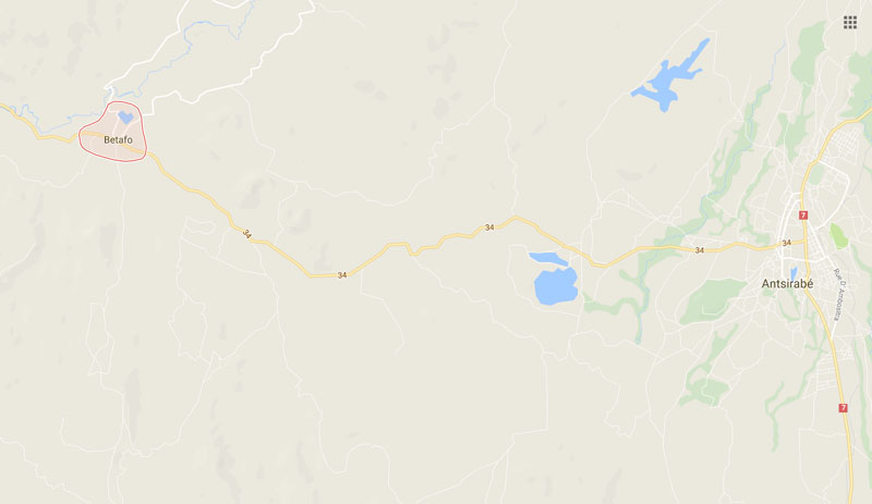
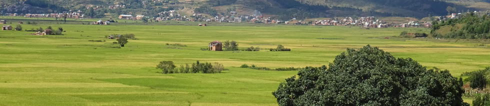


22 km west of Antsirabe, on the road to Morondava and the Great West, this typically Merina village is worth a visit.
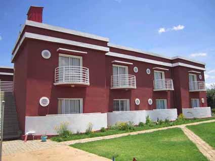
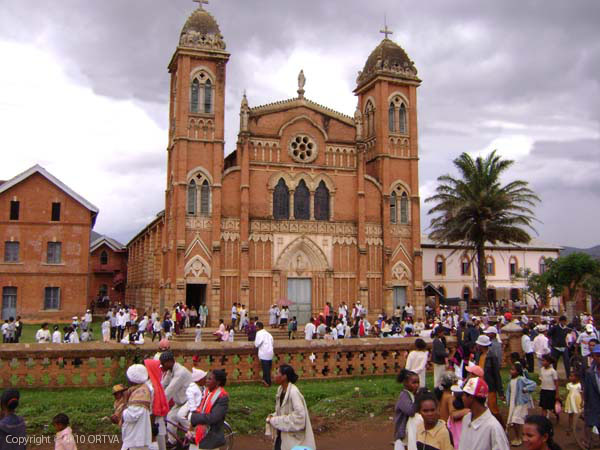
Its arcades and delicate wrought iron decorations make it a fine example of Highland architecture. It houses the first Lutheran church founded by Norwegian missionaries, with beautiful brick architecture from the late 19th century. Since its establishment, 2 million Malagasy people have been Lutheran.
The site consists of a shopping district and an old town, which is more interesting to visit.
The eastern part of the district has a very ancient past. At one time, the Kingdom of Vakinankaratra had its capital in the city of Betafo, and during the reign of Andrianampoinimerina, it became one of the territories of Imerina Enintoko.
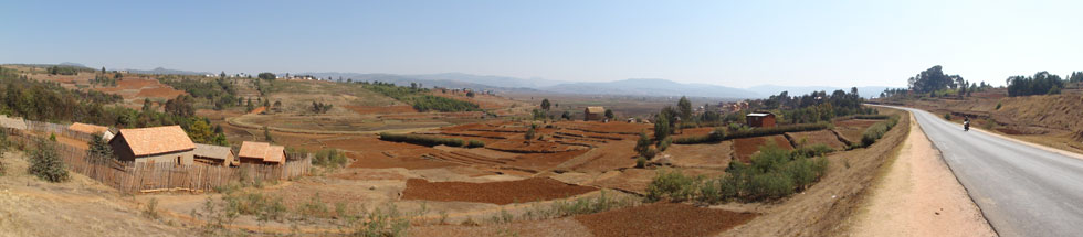
Under colonization, Betafo was a separate administrative district. The Residence and the office building constructed in 1898 testify to the interest shown by the colonizer in this locality.
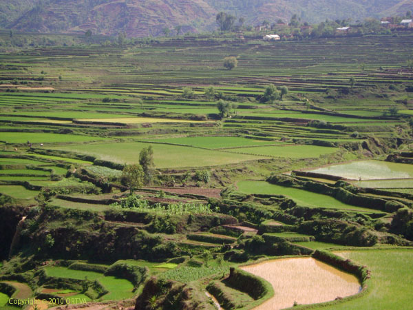
In contrast, the western part has a more recent occupation. These are the lands settled by immigrants mainly from Vakinankaratra and the Bara country. Even in recent decades, the middle west continues to attract immigrants, mainly from the eastern part of the district, due to its agricultural potential.
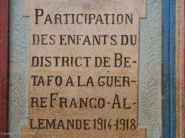
Vatohaly, stone steles with engraved inscriptions honoring the exploits of military leaders of yore, stand among the various buildings. One of them, placed on a pedestal in the center of the market, dates from the late 19th century.
Numerous steles are scattered around. The inhabitants will be happy to point them out.
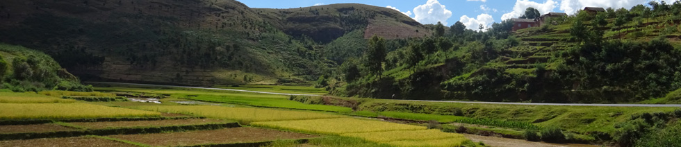
The eastern part is characterized by numerous volcanic cones, hills, and plateaus with volcanic soils. It has a higher altitude (over 1,200 m).
The western part generally has rugged topography with an alternation of plateaus characteristic of the Middle West and granite or quartzitic massifs reaching over 1,000 m.
The soil here is generally composed of rejuvenated ferralitic soils. The rugged terrain and repeated bushfires promote the formation of "lavaka" in many places.
The average altitude of the district is 1,250 m.
In general, the hydrographic network is dense, which promotes both the cultivation of lowlands and the maintenance of gallery forests.
The Betafo District is:
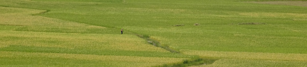
With its volcanic soil, it is primarily agricultural. However, the Middle West has both agricultural and pastoral vocations.
Forest cover is limited: gallery forests, intra-mountain forests, and wooded vegetation in inhabited areas.
Elsewhere, savannas prevail, consisting mainly of danga (acteropogon casturtus) or vero (Hyparrhenia ruffa) grasses and other grasses and herbs.
Source: Vakinankaratra Region
Lake Tatamarina
1 km to the north, it is overlooked by the Tatamarina volcanic lake. At the northern end of the lake, a small circular road passes by a cemetery housing the graves of local rulers. The surroundings of the lake offer beautiful views of the rice fields, and to the north, you will discover some small waterfalls.
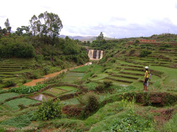
Antafofo Falls
5 km back through fields from the lake are the Antafofo Falls, a 20 m cascade on two levels passing through basalt rocks.
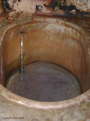
Betafo Hot Springs
3 km north of Betafo, leave the road at the Tetezant sign; Simbtsymamazaka, at the place called Ranomafama, take the dirt road, cross a small bridge, and it's 200 m ahead. The road is flat for mountain biking enthusiasts.
The old hot springs, simple and quite rudimentary, are still in operation. Caution, the water is very hot.